
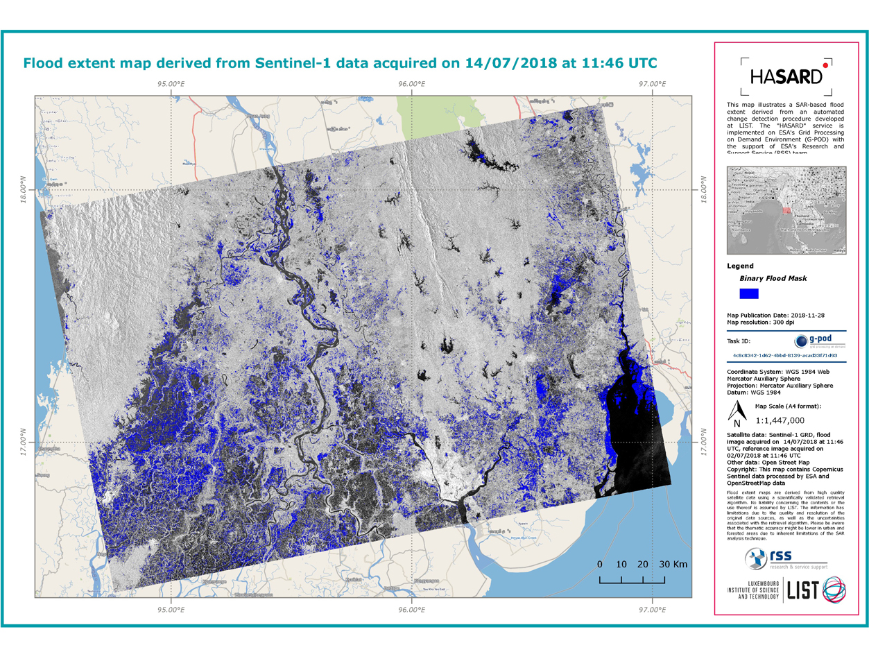
On 9 January 2019, the online scientific journal Remote Sensing, dedicated mainly to remote sensing applications, published an article written by researchers at the Luxembourg Institute of Science and Technology (LIST) in partnership with their Italian counterparts from the CIMA Research Foundation and the Sapienza University of Rome. Entitled "Sentinel-1 InSAR Coherence to Detect Floodwater in Urban Areas: Houston and Hurricane Harvey as A Test Case", the article focuses on the method behind the HASARD® tool developed by researchers from LIST (in their labs in Belvaux, Luxembourg), who specialise in satellite image processing and hydrology, which allows the high-spatial-resolution mapping of flooded areas.
The article centres on the automatic flood mapping algorithm whose main advantage is allowing the detection of flood-hit areas not only on bare ground, but also in urban environments. The maps generated using this algorithm, and by the HASARD® tool, were also used by the US authorities in the summer of 2017, providing them with a synoptic view of the areas most severely affected by the flooding caused by Hurricanes Irma and Harvey.
A tool to further research
The HASARD® tool has been available since April 2018 through the Grid Processing on Demand platform of the European Space Agency (ESA). Hosted directly on ESA's servers, it fully benefits from the exceptional quality of its IT infrastructure.
It offers LIST researchers in Remotes Sensing Nature Resources Modelling and scientists from around the globe the ability to generate flood maps, from satellite images, in virtually any region in the world. This enables any researcher or scientist to produce their own flood maps as required. Comprised of an algorithm and dedicated software, the HASARD® tool, which has recently been trademarked, is of real benefit to the authorities responsible for managing floods.
The result of several years of research
The first version of the HASARD® tool dates back to 2013. Since then, it has continually been improved and upgraded, in particular as part of the SAPSAN "The World’s first Synthetic Aperture Radar-based flood hazard map" project and the MOSQUITO "Monitoring and predicting urban floods using SAR Interferometric Observations" project funded by the Luxembourg National Research Fund (FNR). Drawing on a unique European database, on methods for detecting changing flooded areas and on an intensive evaluation of archive images, LIST researchers have progressively optimised the data processing algorithms provided by the satellites, which has resulted in the HASARD® tool.