Remote Sensing and Natural Resources Modelling: a well-packed activity portfolio
Published on 05/11/2018
In October 2018, as part of its activities in Remote Sensing and Natural Resources Modelling, the Luxembourg Institute of Science and Technology (LIST) participated in a series of events.
In this framework, on 19 October, the Luxembourg National Research Fund (FNR) invited a group of scientists in Luxembourg, together with international experts, to discuss, to review and to propose the future national research priorities. From LIST, P. Ferrer, E. Benetto, L. Pfister, E. Defay, D. Schmidt and C López-Martínez: together, they had an overview of all scientific research being done in Luxembourg and were able to contribute to this important exercise.
LIST’s activity portfolio in remote sensing and natural resources modelling is centred on the combination and exploitation of information obtained by multiple sensors installed on spaceborne and airborne platforms, together with in-situ monitoring. These platforms aim to produce information on the status of natural resources ranging from local or regional to global scales, with unprecedented accuracy and spatio-temporal resolution. Taking part in these events has been the opportunity for LIST’s researchers to introduce these activities as well as LIST’s vision as an RTO specialised in remote sensing. Focus on three events:
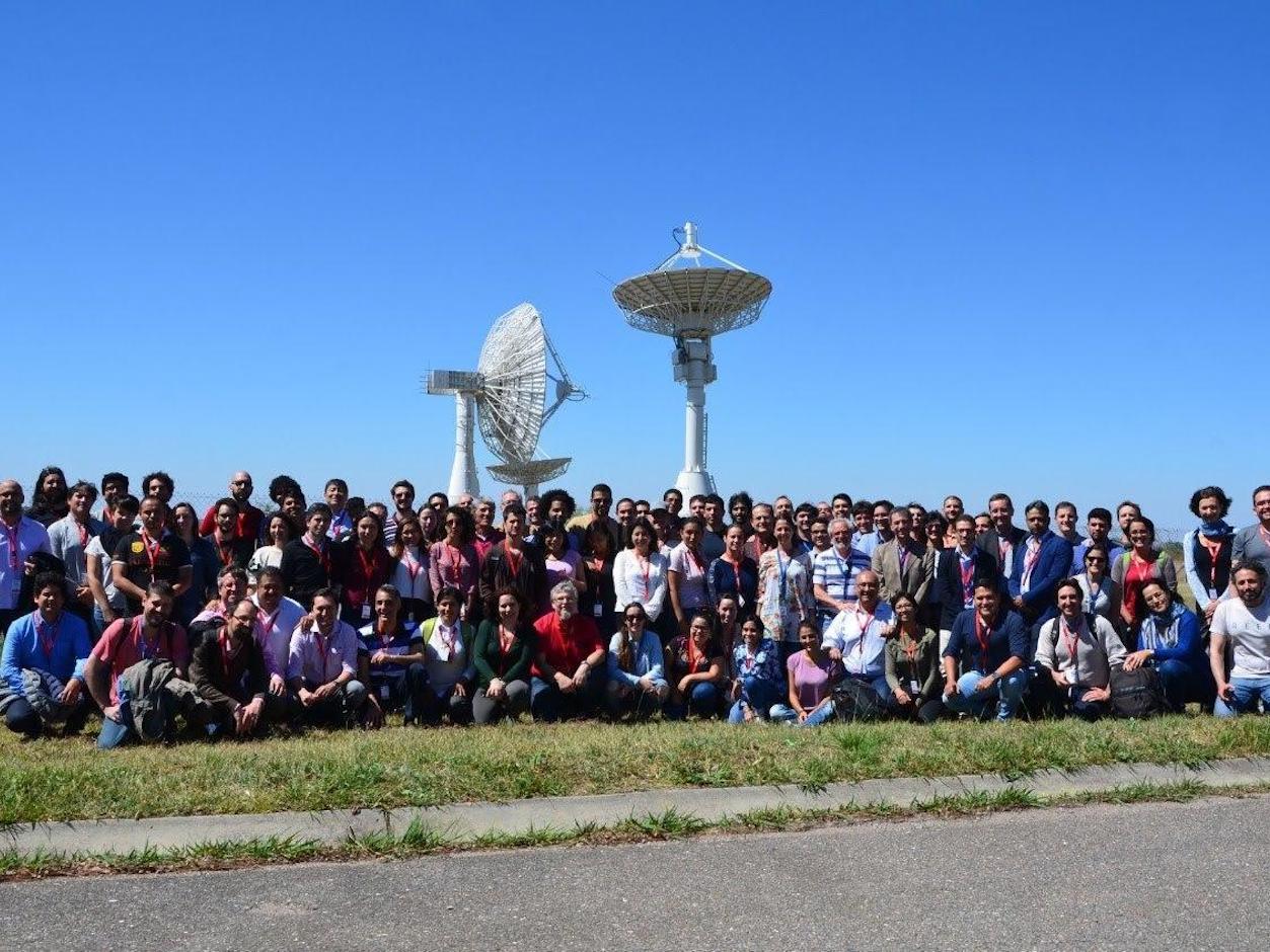
Spring Remote Sensing School
On September 2018, LIST researcher Carlos López-Martínez was invited to contribute to the Spring Remote Sensing School "The SAR Radar as a Tool to Monitor the Environment and Production", organised by the South-american Centre for Interdisciplinary Training (CELFI) and the Argentinian Aerospace Centre (CONAE) in Cordoba, Argentina. In his different presentations he talked about theory and applications of SAR Polarimetry, and some of the activities LIST is developing.
As López-Martínez says: “In the last years, I have had the exciting opportunity to experience the development and growth of remote sensing, and in particular Synthetic Aperture Radar, in South America. In Argentina, together with almost 100 students, we shared our experiences and I was really impressed by their enthusiasm and willingness to discover new techniques and applications.” Adriano Camps, as president of the IEEE Geoscience and Remote Sensing Society (GRSS), presented the future activities of this society in the region. It was followed by interesting lectures about SAR statistics and SAR polarimetry. Carlos López-Martínez concludes: “Finally the students presented us their works and remote sensing applications. It was a nice way to learn the type of problems and interests of people working on remote sensing in South America.”
UNAVCO and NASA workshop
On 20-24 October 2018, Carlos López-Martínez was invited by UNAVCO and National Aeronautics and Space Administration (NASA) to contribute to the workshop “Synthetic Aperture Radar Literacy and Training Workshop”. The objective was to present the capacity building and education efforts in South America, developed with GRSS since 2010.
As López-Martínez explains: “As Synthetic Aperture Radar expands and evolves towards applications, we need to think about how this technology and its applications need to be introduced and presented, not only to students, but also to professionals, stakeholders and decision makers. The conclusions of this workshop will impact the future capacity building activities of LIST’s Remote Sensing and Natural Resources Modelling team”. During the workshop, they were able to talk about future training and capacity building activities in Synthetic Aperture Radar and Synthetic Aperture Radar Interferometry for the above mentioned actors. López-Martínez concludes: “I was happy to see how my teaching experience in South America with GRSS is very similar to the one of other colleagues in Africa or Asia. One of the main observations was that to maximise the use and the benefit of the teaching activities, these must be done in the local language.”
MUAS 2018
Represented by Mario Chini, LIST took part in the second conference on Mapping Urban Areas from Space 2018 (MUAS 2018) organised by the European Space Agency (ESA) in the frame of the Earth Observation (EO) Science for Society Programme Element, on 30-31 October 2018 in Frascati (IT). Marco was part of the scientists and data users who had the opportunity to present first-hand and up-to-date results from their on-going research and application development activities by using data from past and current Satellites.
Marco Chini presented the work entitled "Sentinel-1 SAR data to map buildings at large scale", co-authored with Ramona Pelich, Renaud Hostache, Patrick Matgen and Carlos López-Martínez. Chini explains: “Land-cover maps at large scale provide important information for bettering our understanding of the relations between human activities and global change, and that data provided by Copernicus programmes provide unprecedented opportunity to develop algorithms to map urban areas extent”. He has shown that thanks to the radar data provided by Sentinel-1 satellite mission, it is nowadays possible to detect buildings with a spatial resolution of 20 m and at global scale.
In this context Marco Chini attended the General assembly of Copernicus Relay and Academy network - as Luxembourg representative - that was held in Brussels (BE) in October. For any further information on these topics, please contact Marco Chini and Carlos López-Martínez via email.
Share this page: