Drones, satellites and augmented reality at the Ettelbruck Agricultural Fair
Published on 25/06/2019
The biggest open-air fair in Luxembourg, which takes place from 5-7 July 2019, will provide an opportunity for the Luxembourg Institute of Science and Technology (LIST) to present the agriculture of tomorrow.
Remote sensing to indulge fields
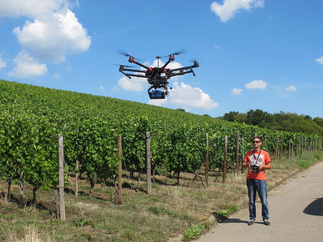
How can the impact of agriculture on the environment be limited while still remaining competitive? LIST will set out a few hypotheses on its stand during the three-day Ettelbruck Agricultural Fair. Satellites to monitor the nutritional status of wheat fields and drones to detect grapevine illnesses are just two examples of remote sensing technologies that make precision agriculture possible. The aim is to reduce the use of fertilizers and pesticides thanks to a custom application based on the needs of the land.
Protect our grapevines from parasites
Children will be able to learn and have fun at the same time thanks to an application developed by LIST, which lets them fight against insect pests projected in augmented reality on to real vine plants.
Make use of space to conserve the planet
On 6 July at 14:00, Lucien Hoffmann, Director of the ERIN (Environmental Research and Innovation) department will present LIST’s precision agriculture and digital farming activities, in particular, the use of satellite technologies to reduce the environmental impacts of agriculture: a way of showing that the future of agriculture will take place not only on Earth but also in space.
Share this page: