Artificial Intelligence & Earth Observation: a win-win situation
Published on 17/10/2019
On 17 September, LIST, together with public and private actors from the space sector, held a one-day conference in Namur on the hot topic of artificial intelligence in earth observation, the first of its kind to take place in Luxembourg and Belgium.
A resounding success for a first event
The overall objective was to gather international experts in order to set up a joint community linking both cutting-edge technologies. More than 300 participants from Luxembourg and Belgium had registered to attend the 25 talks covering the latest information on research, infrastructure, business and funding. Among the speakers, Marco Chini from LIST’s Environmental Research and Innovation department presented LIST's activities on flood monitoring in urban areas using satellite earth observation and social media data.
The aim of this first conference was to bring together Luxembourgish and Belgian actors in the Earth Observation (EO) sector with experts in Artificial Intelligence (AI). Even though the introduction of AI into the Space sector is gradually becoming more established, the event was the occasion to take a closer look at the future interaction between both areas of expertise.
Why Artificial Intelligence for Earth Observation?
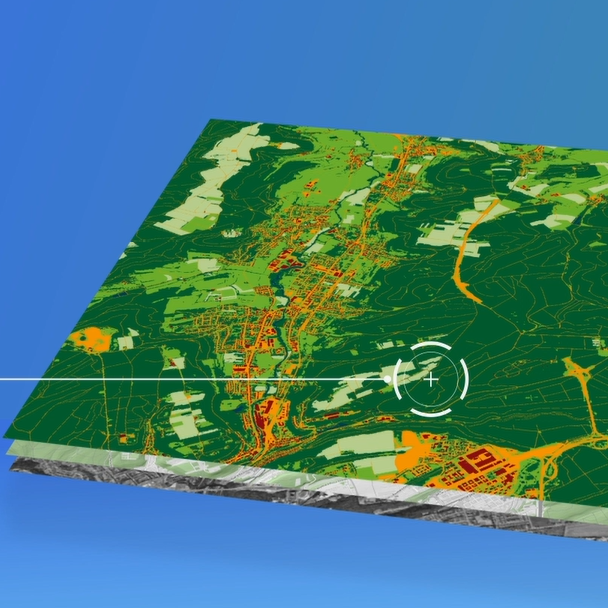
The recent progress and revolution in the field of AI technologies are a real asset to meeting the current and future needs of the space industry, while the EO activities with their limitless satellites or in-situ data offer a new playground to the AI world. A close cooperation between AI and EO should therefore result in a win-win situation.
Satellite and drone imagery-based applications are gradually but too slowly finding their way into regional and national end-user markets, such as agriculture, energy, forestry, logistics and insurance. Until now, the huge amount of data and the cost related to their analysis remain the major barriers to the widespread use of EO-based services.
Artificial intelligence seems to be THE solution for quickly and efficiently analysing long time series of Earth observation in order to respond more efficiently to opportunities and challenges for the detection, identification and mapping of terrestrial phenomena.
Share this page:


Contact


Prof. Dr Lucien HOFFMANN
Director of Environmental Research and Innovation department
Send an e-mail