CCI-LANDCOVER
Validation of the SAR-based CCI water bodies product
INSPIRATION
The objective of the CCI-LANDCOVER project is to assess a worldwide map of "permanent waters" derived from an analysis of archived ENVISAT radar remote sensing images. For reasons related to synthetic aperture radar technology and to the image interpretation methodology, this map is marred by errors. It is therefore important to be more familiar with the resulting usage limits.
INNOVATION
This product’s validation follows a clearly defined protocol that is independent of the production process. The validation procedure has therefore been designed to be transparent and traceable. Firstly, a sample of reference data was collected for the entire planet. The validation is then performed while identifying errors. The main objectives of the validation are:
- to better understand the sources of uncertainties associated with the product;
- to find a means for describing the uncertainties in a probabilistic context;
- to provide perspectives for reducing the identified uncertainties.
IMPACT
A concept for identifying a sufficient number of reference points was developed. 2200 reference points were geo-localized around the world and a visual interpretation on the basis of optical images made it possible to associate them with one of the two possible classes, i.e. “permanent waters” and “other”. Each interpreted point was compared with the “permanent waters” product derived from the radar remote sensing. The sample of 263 error points obtained in this manner serves as the basis to establish a statistical model intended to estimate the probability of committing a classification error. To this end, each point on the earth is characterized by indicators that indicate the environmental parameters and the site’s radar backscatter characteristics. By using fuzzy logic concepts, it becomes possible to estimate distributions of the errors according to a reduced number of significant indicators. These statistical models are then used to associate a probability of classification error with each point of the space.
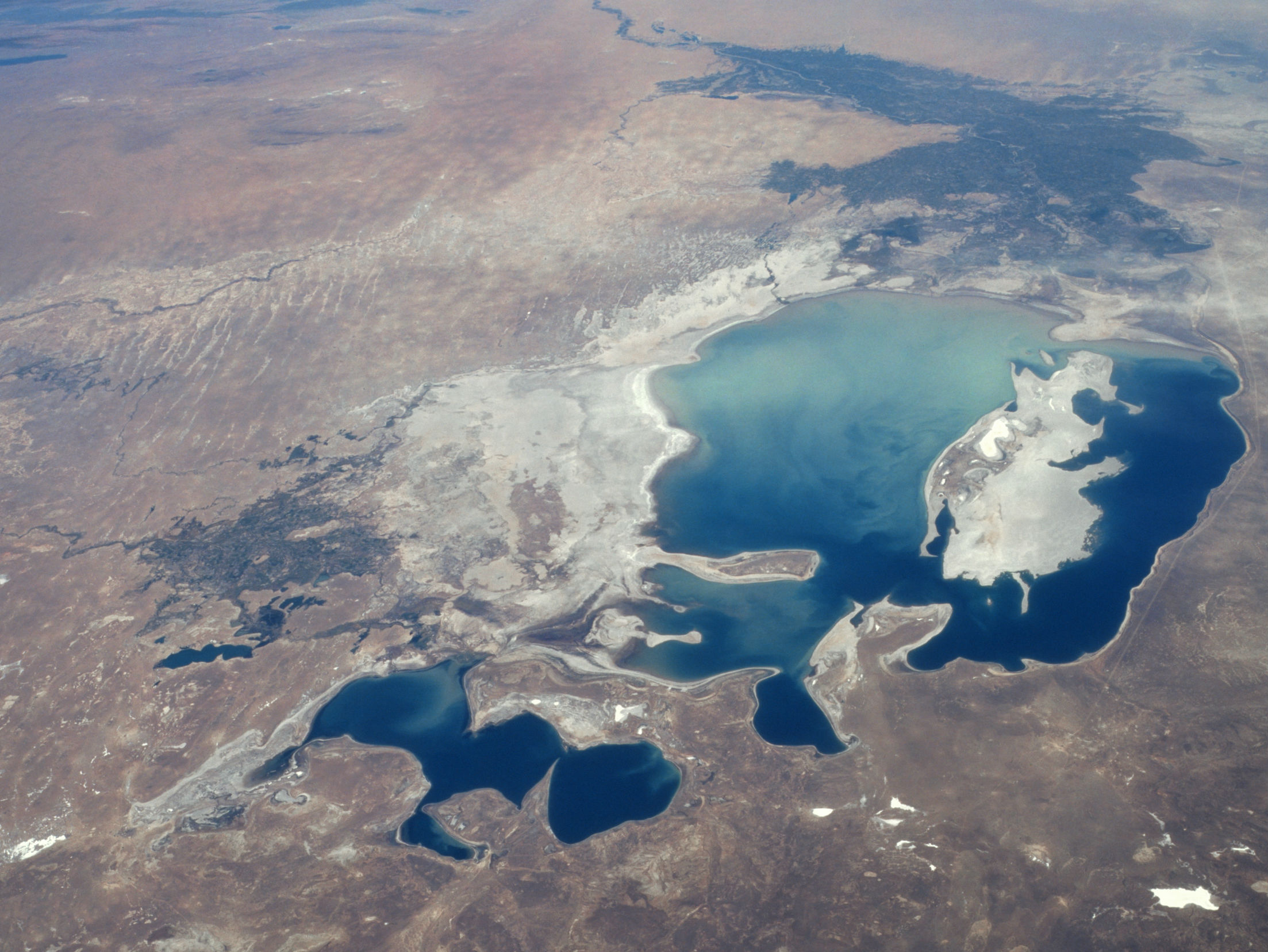
Photo: Aral Sea from Space, 1997, NASA
Research domains
- Environment
Share this page: